
This is a post for Katrina, who is trying to make a 3-d map of Portland's streets out of cardboard.
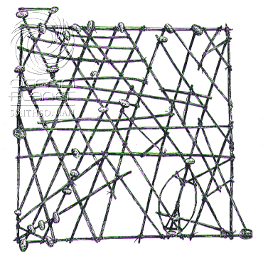
Your project reminded me of some Navigation charts I saw in the book You Are Here by Katharine Harmon made by people living and boating in the Pacific islands. It's my understanding that these charts show the waves and swells around certain islands (pictured here as shells).


No comments:
Post a Comment